जलक्रांती भूजल सर्वेक्षण केंद्र
Jalkranti Groundwater Survey Center
9049107777, 9049205555
shindeajinath7777@gmail.com
Advanced Digital Mapping for Better Water Management
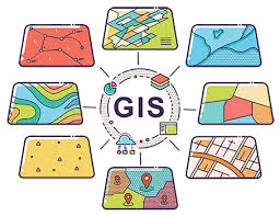
Advanced digital mapping for groundwater, topography, and hydrological patterns using modern GIS tools. Our Geographic Information System (GIS) and mapping services provide data-driven insights for better water management and planning.
We use cutting-edge technology including GPS, aerial photography, and satellite imagery to collect and analyze geographic data. This enables us to create comprehensive maps and perform spatial analysis that reveals patterns and relationships crucial for groundwater management.
Services use GPS, aerial photography, and satellite imagery to collect and analyze geographic data. Includes surveying, digitizing, and performing spatial analysis to understand patterns and relationships.
Create dynamic maps that can display and interact with spatial and non-spatial data for various purposes, such as displaying property boundaries, utility lines, or demographic information.
Ranges from creating detailed city-level maps with specific boundaries to developing custom maps for industries like agriculture, real estate, and environmental management.
Create comprehensive digital maps for groundwater analysis and planning.
Advanced spatial analysis to identify patterns and relationships in data.
Model water flow patterns and predict hydrological behavior.
Tailored GIS solutions for specific industry and project needs.
Our GIS and mapping services transform complex geographical data into actionable insights. Visualize groundwater resources, analyze patterns, and make data-driven decisions for effective water management.